Services
- Home
- Services
Boundary Survey
Boundary surveys involve researching deeds, locating property corners, marking boundary lines, locating right-of-ways, identifying encroachments, and providing a survey plat showing all necessary information.
Boundary surveys are commonly needed when:
- Buying or selling property
- Building a home, fence, or other structures
- Resolving property disputes
- Subdividing land
- Meeting lender or title requirements.
Topographic Survey
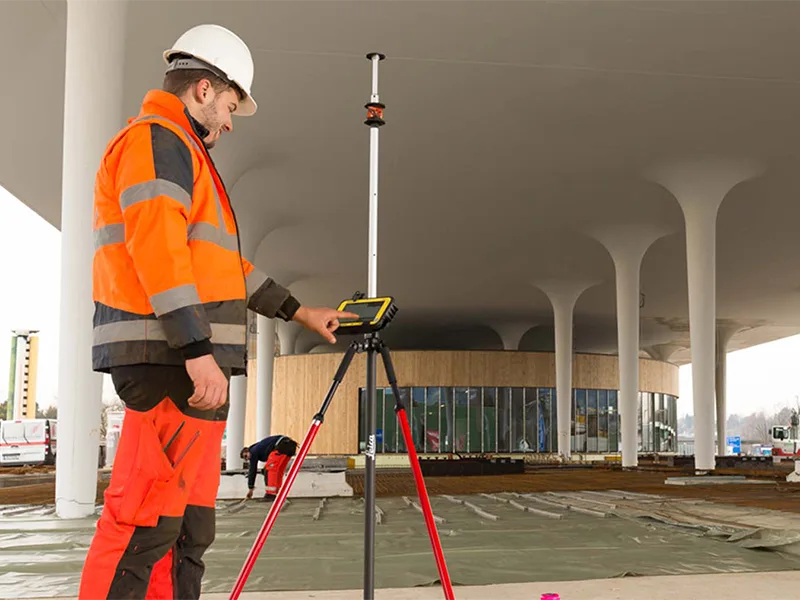
Our topographic surveys document existing ground elevations, contours, and visible site features such as structures, pavement, utilities, drainage features and vegetation. This information provides property owners with accurate data for design, grading, drainage, and construction planning.
ALTA Survey
An ALTA Land Title Survey provides a detailed, nationally recognized survey prepared to title industry standards. It documents property boundaries, improvements, easements, rights-of-way, and encroachments, and is typically required for commercial real estate transactions.
As-built Survey
As-built surveys document the final location of constructed improvements, including buildings, utilities, pavement and grading to verify compliance with design plans and permitting requirements.
Percolation tests
Percolation testing evaluates soil characteristics to determine suitability for a septic field for property owners. These are typically required by health departments for septic system design and permitting.
Construction Staking
We provide construction staking to accurately layout buildings, improvements, utilities and grades, helping contractors and municipalities build according to plan.